
Walk a Brown County Street
A useful Brown County street directory search separates ownership from occupancy. The county tax listing identifies the parcel and its displayed owner, while a deed records an interest in land. Neither proves that the named person lives there. A voter result or dated directory may support residence, but each has its own date and scope. Begin with the full house number, street name, unit, and municipality. Keep the situs address, the address assigned to the physical parcel, separate from the tax mailing address.
Work from the place to the records in a set order. This keeps a similar road name, postal city, or changed parcel number from pulling the search onto the wrong property.
- Enter the address and municipality in Brown County Land Records. Save the parcel ID, legal description, current or historical status, and displayed owner.
- Open BrownDog and inspect the parcel, address, right-of-way, historic-line, and municipal-boundary layers along the street.
- Use Wisconsin MyVote only for a permitted voter-information check. Treat its address as voter evidence, not proof of ownership.
- Follow owner names and the legal description through the Register of Deeds index and document images.
- For an earlier household, consult a dated Green Bay or Brown County directory rather than projecting a current name backward.
The path is address to parcel, parcel to owner, owner to deeds, then dated household sources. When the facts conflict, retain both versions and their access dates.
Brown County Address Search Fields
The Brown County Land Records portal offers more than a street-name box. Its current and historical controls help when a parcel has split, merged, or left the active roll. The form inspected did not show an owner-name field. Brown County's separate tax-map search does, so the two tools should not be described as if they have the same controls.
| Field group | Visible controls | Best use |
|---|---|---|
| Property address | House number, prefix, street, type, suffix | Match a known situs address |
| Parcel | Parcel number, alternate parcel number | Return to one legal tax parcel |
| Land survey | Plat type and description, section, township, range | Find rural land without a stable street label |
| Scope | Municipality, real or personal property | Separate similar roads and record classes |
| Status | Current properties, historical properties | Trace changed parcel records |
County data combines work by the Property Lister, Treasurer, and municipal assessors. It omits appraisal-card details such as building photos, square footage, room counts, and age. Ask the relevant municipal assessor for those fields. Property Listing at 920-448-6480 is the phone fallback for general questions and mailing-address changes.
The captured portal shows the search surface used for a Brown County street directory inquiry: open the live Brown County Land Records search before relying on a saved view.
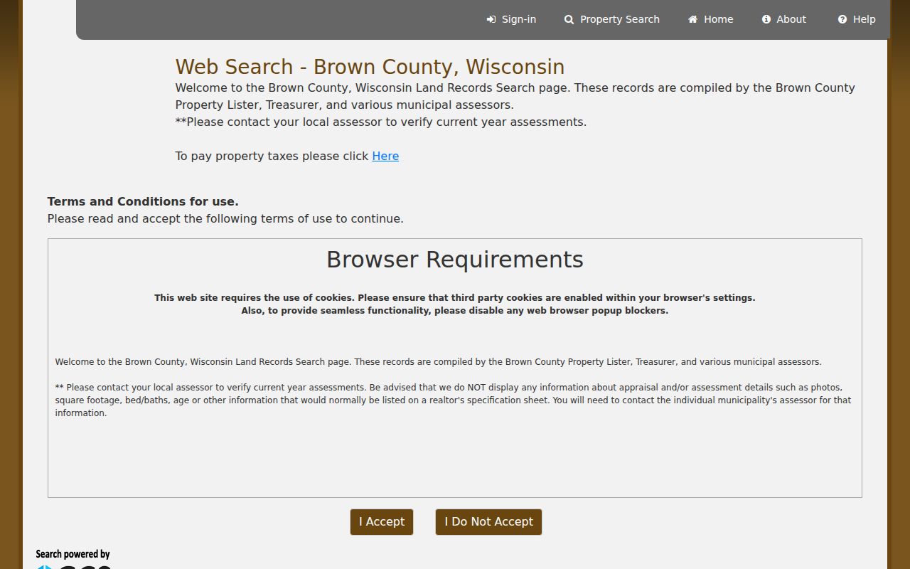
Its separate address, parcel, survey, municipality, and history controls show why exact field notes are more reliable than a loose street-name search.
Map Brown County Street Parcels
BrownDog and Brown County GIS documentation add geometry to the parcel result. Useful layers include parcel boundaries, condominium outlines, gaps and overlaps, rights-of-way, historic parcel lines, plat and lot boundaries, document numbers, addresses, and municipal boundaries. A road edge may be a right-of-way rather than the edge of a privately held lot. A line may also mark an older parcel, a condo, or a municipal divide.
The county has been consolidating older maps and applications into BrownDog2.0. Save the layer name, map date, parcel ID, and access date with each result. The county plan says parcel maps update daily as needed and online data synchronizes about four times each week, but GIS still serves as a spatial reference rather than a legal survey.
See the Brown County GIS source used for the layer inventory.
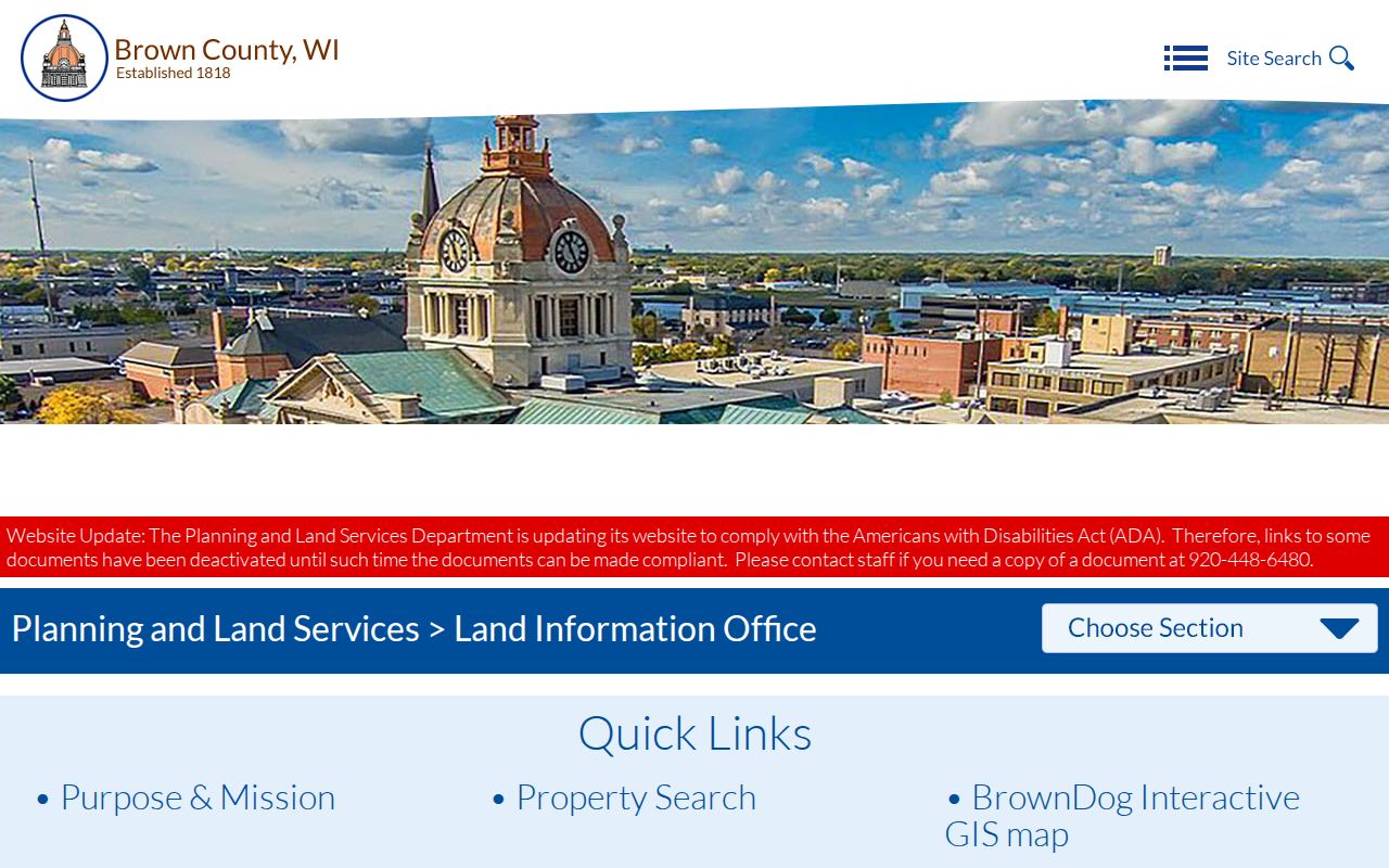
The image preserves the access point while the county moves legacy map resources into its newer viewer.
Note: A parcel beside another parcel is a map relationship, not proof that the owners know each other or live on site.
Brown County Records by Address
No one roll answers every Brown County street directory question. Use each address-keyed source for its own claim, then compare names only when the address, municipality, and date align.
| Record Set | Keeper | What It Shows | Access |
|---|---|---|---|
| Tax listing | Property Lister, Treasurer, assessors | Displayed owner, mailing address, legal description, history | Free county portal; phone and assessor fallback |
| GIS parcel map | Brown County Land Information Office | Addresses, parcel shape, boundaries, document links | Free BrownDog and GIS resources |
| Recorded documents | Brown County Register of Deeds | Grantors, grantees, instruments, legal descriptions | Laredo, Tapestry, or terminal by appointment |
| Voter information | Wisconsin MyVote, local clerks | Permitted current voter and jurisdiction details | Official lookup or clerk channel |
| Dated directories | Brown County Library and archives | Year-specific names and addresses | Local-history room, catalog, microfilm |
The parcel ID and legal description form the strongest bridge between the tax roll, GIS, and deeds. Street text is more fragile. For voter participation data beyond an individual MyVote inquiry, Badger Voters provides the state's public-data request route, while a local city, village, or town clerk can explain jurisdiction and lawful access.
Two Brown County Search Paths
Brown County has a practical search quirk. The inspected Land Records form accepts parcel, address, survey, and municipality data, but not an owner name. The county tax-map search exposes Last Name and First Name along with parcel, subdivision, survey, road, and map-book fields. Begin with Land Records when the address is known. Use the tax-map fields when a known owner or road must lead back to mapped material.
The live tax-map page provides the Brown County street directory's alternate owner and road search:
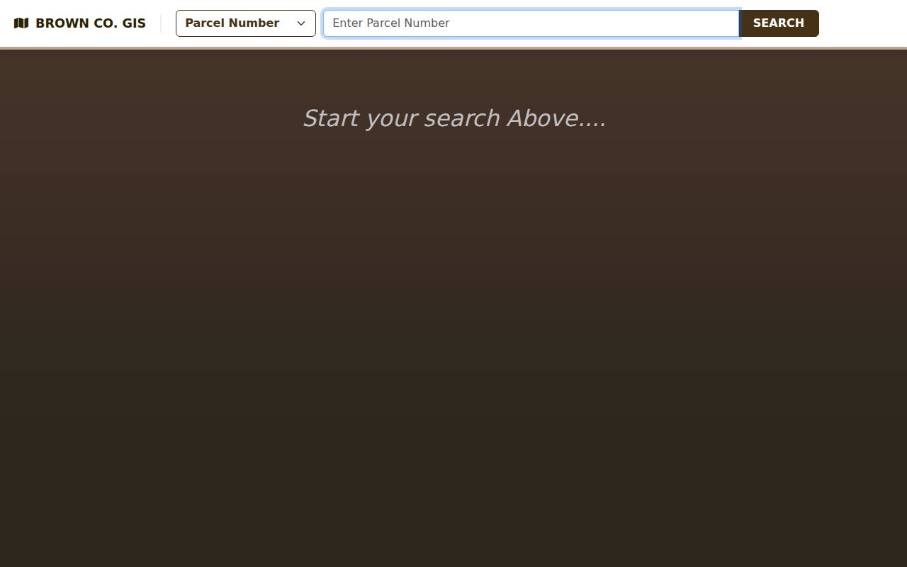
This is an alternate index route, not a reason to claim that every county portal accepts the same fields.
Brown County Deeds Along Streets
The Register of Deeds real-estate search page reports Grantor/Grantee index and image coverage from February 1, 1962 forward in Laredo and Tapestry. A grantor gives an interest; a grantee receives it. Start with the current displayed owner and legal description, inspect the purchase instrument, then search the seller's earlier acquisition. Record the document number, date, instrument type, parties, parcel ID, and exact description.
Online searching is free, but printing costs apply. Laredo serves daily professional access, while Tapestry is intended for occasional use and carries support or maintenance fees. For counter research, Brown County provides one public terminal by advance appointment. Posted search hours are Monday through Thursday, 8:00 a.m. to 4:30 p.m., and Friday, 8:00 to 11:00 a.m. Call 920-448-7809 to confirm arrangements.
The official page captured here explains those Brown County deed channels:
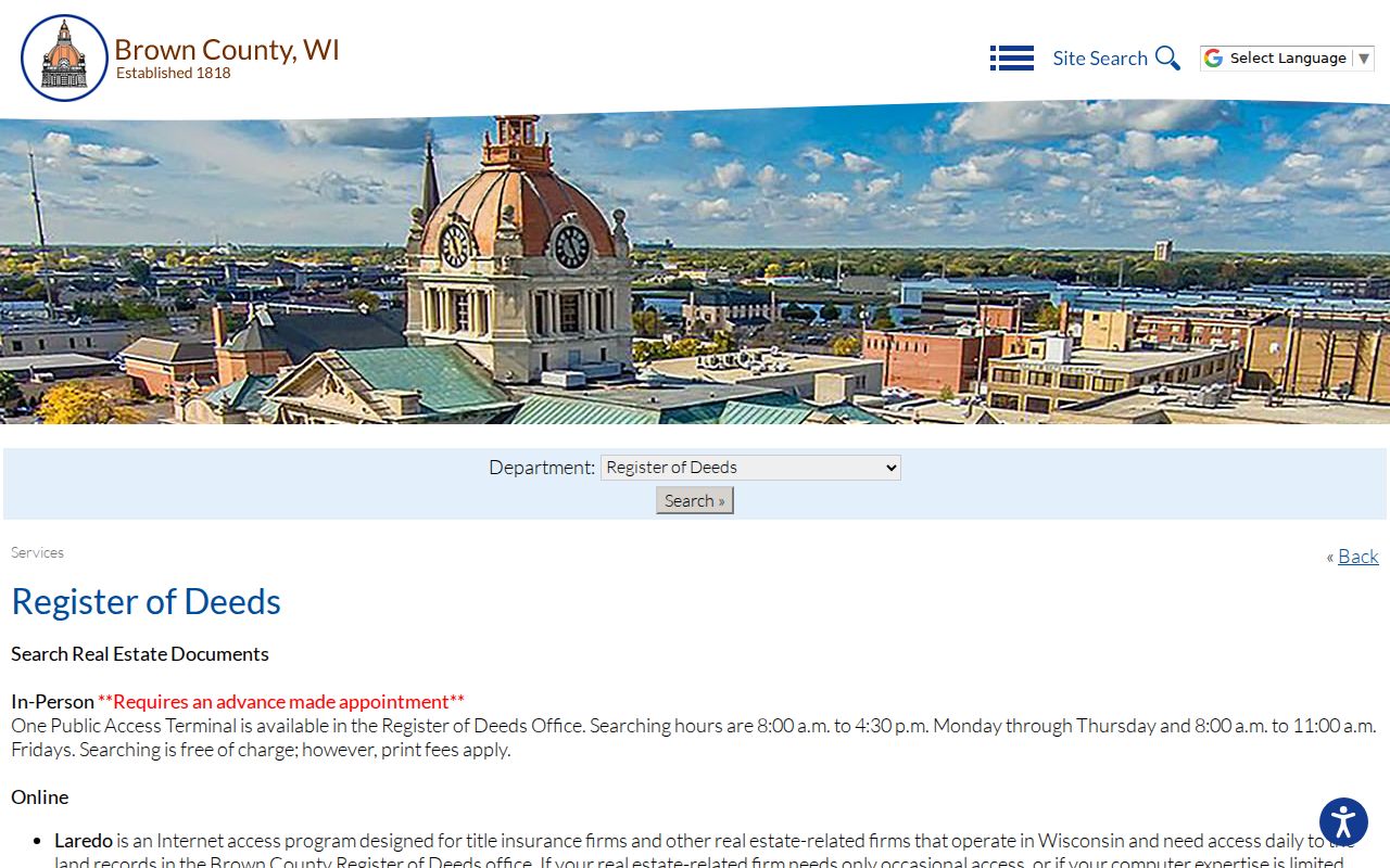
Its coverage cutoff matters. Older street research must move to deed books, UW-Green Bay Archives, tax records, directories, maps, or other historical holdings.
Brown County Street Record Terms
Four labels keep an address trail precise. Define them in the research log before combining portal results.
- Parcel
- A mapped unit used for land and tax records. It may split, merge, or receive a new identifier.
- Situs address
- The address assigned to the physical parcel, kept separate from an owner's mailing address.
- Plat
- A recorded map that lays out lots, blocks, roads, or other land divisions.
- Criss-cross directory
- A directory arranged by address or street, useful for finding a name listed at a place in a particular edition.
A legal description can outlast a house number. In rural Brown County, section, township, range, plat, and lot details may be more stable than the postal label.
When Brown County Addresses Change
A Wisconsin Historical Society record documents a Green Bay property now labeled 110 S Adams Street that had formerly been 112 S Adams after rehabilitation. That small change is a strong warning for any street-by-street search. A blank result under today's number does not establish that no older record exists.
Build a same-place worksheet with the current USPS form, parcel situs, municipality, deed description, dated directory label, and any former number. The 110 S Adams property record shows how an old number and a 1939 Green Bay City Directory citation can preserve continuity. Historical household research then belongs with the Brown County city directory collections, where editions are treated by year.
Municipal authority also matters. Brown County Planning assigns new addresses only in specified towns and the Village of Denmark; other municipalities manage their own addressing. Send an unexplained address conflict to the responsible local authority.
Limits of Brown County Street Records
A Brown County street directory cannot turn every parcel into a verified household. Deeds establish recorded interests, not current occupancy. A tax mailing address may be elsewhere. USPS confirms delivery formatting, not that a person or company is present. MyVote is a voter tool with legal limits, not a public roster of everyone on a block. Safe at Home assigned addresses, judicial-officer protections, and sealed or restricted records also prevent some personal addresses from appearing.
Commercial directory data may be stale, merged, or copied without a clear source date. Official records are stronger because the keeper, record type, and date can be named, yet each still proves only what that record was made to show. Use the Wisconsin Safe at Home guidance as a reminder that some address gaps protect personal safety.
Lawful use. Brown County address records support family, property, and civic research. Never use an address trail to stalk, harass, intimidate, or harm a person.
For a failed online search, call Property Listing, contact the municipal assessor, make a focused request to the custodian, or use the Register of Deeds terminal. A source's silence is not proof that a resident or document never existed.