
Brown County Neighbors by Source
The right source depends on what “neighbor” means. BrownDog shows physical adjacency. Property Listing supplies current and historical tax-listing data. The Register of Deeds confirms recorded instruments. Green Bay's association tools identify a civic area and public contacts. A voter portal can route an address to its election jurisdiction, but it is not a household roster. A dated directory or Sanborn map can help rebuild an earlier block.
| Source | What It Shows About a Block | Access |
|---|---|---|
| BrownDog / Brown County GIS | Parcels, addresses, lines, rights-of-way, municipalities | Free map viewer |
| Property Listing | Current or historical parcel and recorded owner data | Free county portal |
| Register of Deeds | Documents and parties tied to parcel interests | Online services or office terminal |
| Green Bay association lookup | Civic area, public group, and contact route | City address tool |
| Library and archives | Dated occupants, buildings, maps, and news | Visit, database, or focused request |
Owner and occupant are different facts. A mailing address can also differ from the property's situs address, meaning the place where the parcel is located. Record the source date and relationship rather than labeling every owner as a current Brown County neighbor.
Map Brown County Neighbor Parcels
Start with Brown County Property Listing to normalize the parcel ID, situs address, municipality, legal description, and current or historical setting. Then move to BrownDog and the GIS archive. The county map system carries parcel, condominium, gap or overlap, historic-line, right-of-way, address, aerial, and municipal-boundary layers.
- Find the subject address and record its parcel ID, municipality, and map date.
- Turn on parcel boundaries and click each lot that touches the subject parcel, including lots across the road when relevant.
- Write each adjacent parcel ID, situs address, and map relationship before opening its tax listing.
- Compare owner display and mailing address, then use recorded document numbers for any needed deed check.
The county's captured BrownDog source shows why looking up Brown County neighbors is a map task, not a simple address list.
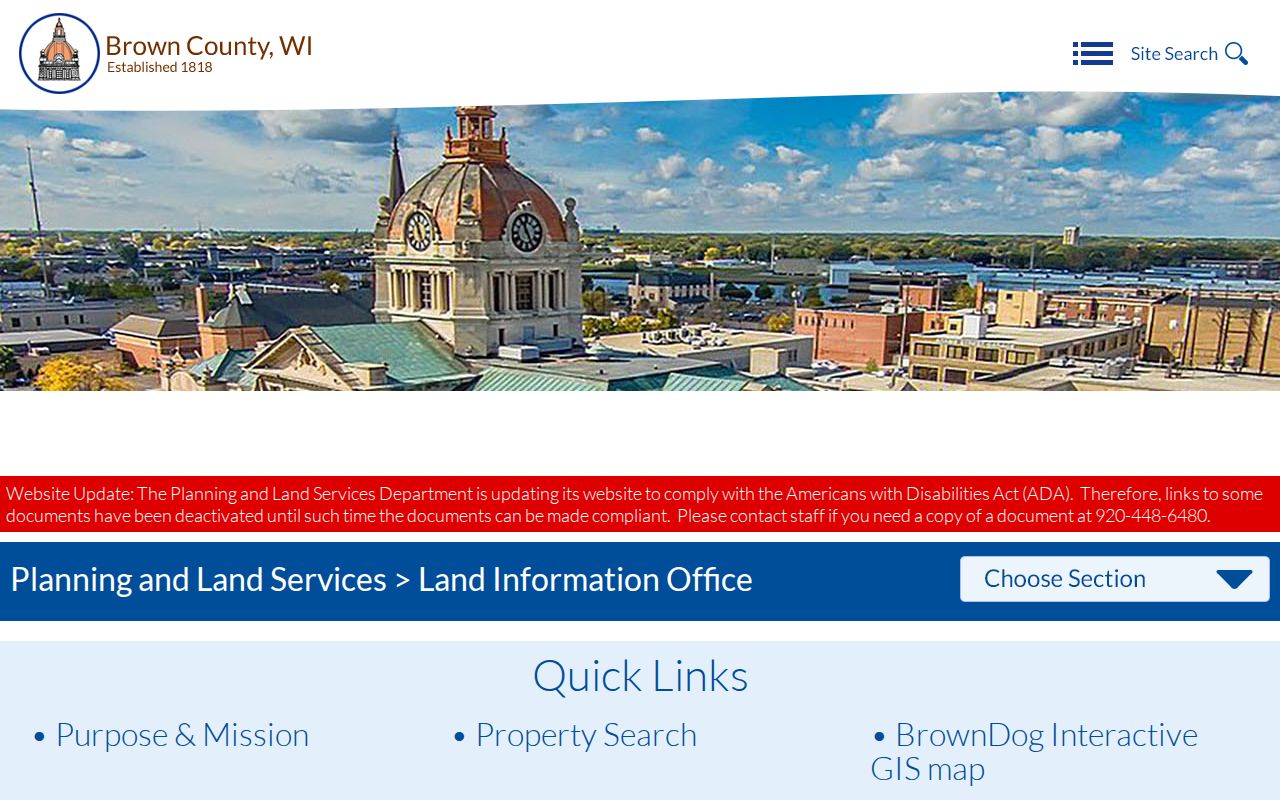
Parcel polygons depict mapped geometry, not a survey guarantee or social relationship. Historic lines and rights-of-way can explain why two homes that look close on an aerial image are not legally adjoining parcels.
For an entire named road instead of the lots around one address, use the Brown County street directory workflow.
Check Brown County Owner Names
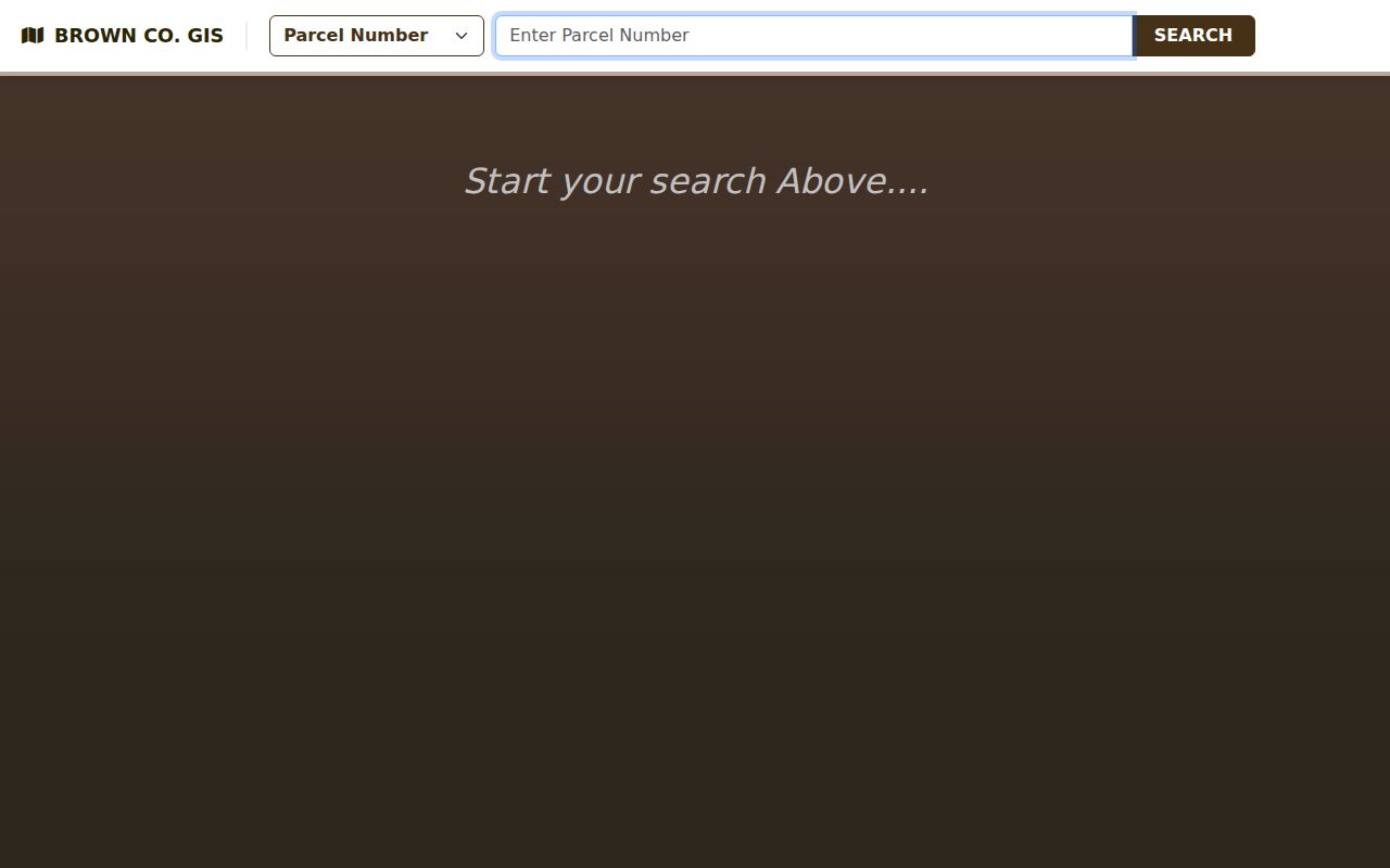
The current Land Records form inspected did not show a general owner-name field. Brown County's older tax-map search does offer Last Name and First Name alongside parcel, subdivision, V.I.D., road, date, and map-book controls. That difference is a useful local quirk. It means an address-led neighbor search and an owner-led search may begin in separate county interfaces.
The Brown County tax-map search capture preserves those visible fields.
Use the parcel ID to join the two results. When “ETAL” appears, the county FAQ defines it as “and others,” and the newer system's Owners area may show all current owners. A tax roll still does not identify every adult or child who lives at the property.
- Parcel
- A unit of land tracked under a county identifier.
- Situs address
- The physical address assigned to the parcel, distinct from tax-mail delivery.
- Right-of-way
- Land reserved for a road or public passage that can divide apparent neighbors.
- Legal description
- The recorded words that identify land more precisely than a street address.
Brown County Blocks Keep Changing
Brown County publishes monthly parcel-change material, and its recent BrownDog2.0 consolidation makes the access date part of the evidence. A split, certified survey map, plat, annexation, condominium change, road dedication, or rewritten legal description can change a parcel ID or boundary without moving the building. Save the layer name, screenshot date, parcel URL, and any document number.
The Land Information Plan says the county links parcel data through unique parcel URLs and coordinates regular updates. If the map and tax record conflict, contact Property Listing at 920-448-6480 or the Land Information Office. A recorded-instrument issue belongs with the Register of Deeds. Do not assume a database error until the related survey, map, plat, or deed has been checked.
Note: A dated parcel image is evidence of what the county viewer displayed then, not a permanent promise about the next update.
Green Bay Neighborhood Connections
Green Bay defines an association as people in a designated area working together and linking residents with local government. More than 40 established groups are described on the city's Neighborhood Associations and Watches page. Activities include public meetings, newsletters, cleanups, traffic studies, park work, block events, and civic education. The material is an association layer, not a private resident directory.
Find My Neighborhood
Search a Green Bay address for the mapped civic association. Membership and occupancy are not proved.
Green Bay Neighborhoods
Meeting and leadership information: first Thursday of even months at 5:30 p.m., info@gbneighborhoods.org, 920-593-3716.
Start an Association
City formation criteria call for clear bounds, open participation, a mission, public meetings, a board, and a contact.
The city reported helping form a 50th association in 2025. Treat that count as date-specific. Group status, names, contacts, and mapped bounds may change, and municipalities outside Green Bay use their own civic structures.
Brown County Civic Boundaries
Green Bay's official neighborhood map was prepared July 14, 2025. It names areas such as Astor, Baird Creek, Downtown, Fort Howard, Joannes Park, Navarino, Olde Preble, Shipyard, Three Corners, Whitney Park, and Woodside Heights. The map carries a reference-only disclaimer. It is not a parcel map, voter precinct, deed boundary, or claim that every resident belongs to an association.
The image capture for the city GIS collection shows the public source route used to locate mapped Brown County neighbor context.
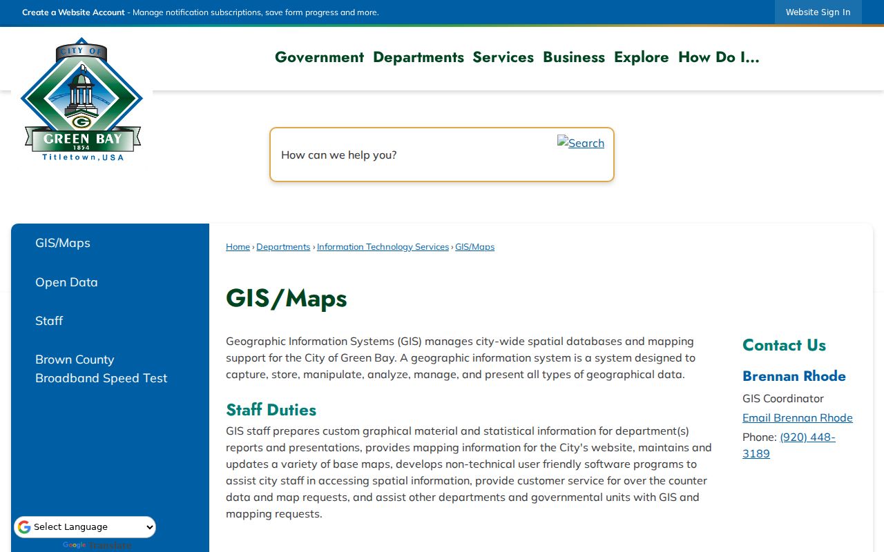
Use a short chain: verify the municipality in county GIS, search the civic association by address, open the group's public page, then check meeting notices or city records. Never infer friendship, membership, or contact permission from a shared boundary.
Brown County Neighbors Over Time
MyVote's address search uses street, optional unit, city, and ZIP to route election information. It does not return a reliable list of Brown County neighbors and does not prove occupancy. Badger Voters offers public voter-file products, but any extract is time-specific and must retain its jurisdiction, status, coverage, and request date.
For past blocks, the Brown County Library holds Green Bay city and Brown County directories, some from the 1870s, plus newspapers and census resources. UWGB Archives adds land records, tax rolls, maps, assessment cards, and a partial name index. Sanborn maps show building footprints and uses, not a complete household roster. Pair a dated directory with the map and newspaper evidence.
A documented Green Bay property once changed from 112 S Adams to 110 S Adams after rehabilitation. That Wisconsin Historical Society record shows why old neighbors can disappear when only a modern house number is searched. Preserve both labels and the directory year.
Official Brown County Neighbor Evidence
Official rolls and commercial neighbor tools differ in source, date, and proof. County records provide a custodian, defined fields, and correction path. Commercial category results may blend stale addresses and unnamed sources. They should never replace a parcel ID, dated map, deed document, or association page.
| Question | Official Record | Commercial Category |
|---|---|---|
| Where is the lot? | Parcel map and legal description | Approximate address grouping |
| Who holds title? | Tax listing plus recorded deed | May show an old or unexplained name |
| Which civic area? | Dated city association map | Often no boundary source |
| How to correct it? | Named county or city custodian | Provider-specific process |
Always add a “cannot prove” line. A deed does not prove occupancy. A postal address does not prove municipal jurisdiction. Voter data does not prove title. Association geography does not establish a personal relationship.
Brown County Neighbor Privacy Limits
Wisconsin Public Records Law, Wis. Stat. §§19.31-19.39, supports access to many existing government records, but confidentiality and balancing rules still apply. Safe at Home protects the actual address of eligible participants by using an assigned substitute address. Act 235 lets covered judicial officers and immediate family ask that home addresses and other personal details be shielded. Utility, delivery, and private membership lists are not supplied by a parcel search.
Lawful use. Brown County neighbor records support civic research, history, and ordinary block awareness. Do not use them to watch, harass, threaten, dox, or intimidate another person.
Ask for a specific existing record when a portal fails. Property Listing, Land Information, the Register of Deeds, a municipal clerk, Brown County Library, and UWGB Archives each cover different material. Preserve any denial and its legal reason. A withheld field or missing online result is not proof that no record exists.